Ecological Assessment: The Farm
Lake County, Illinois
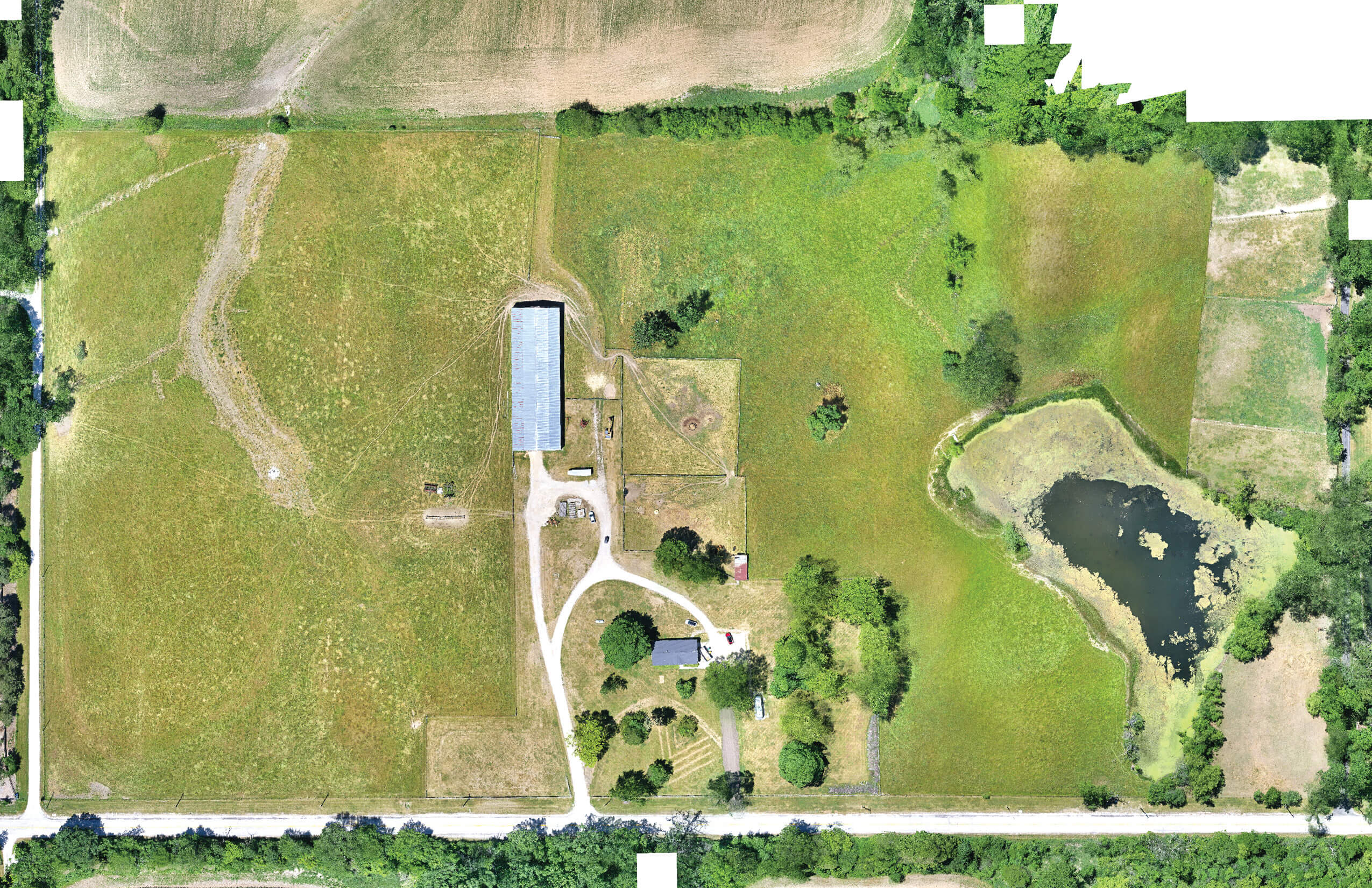
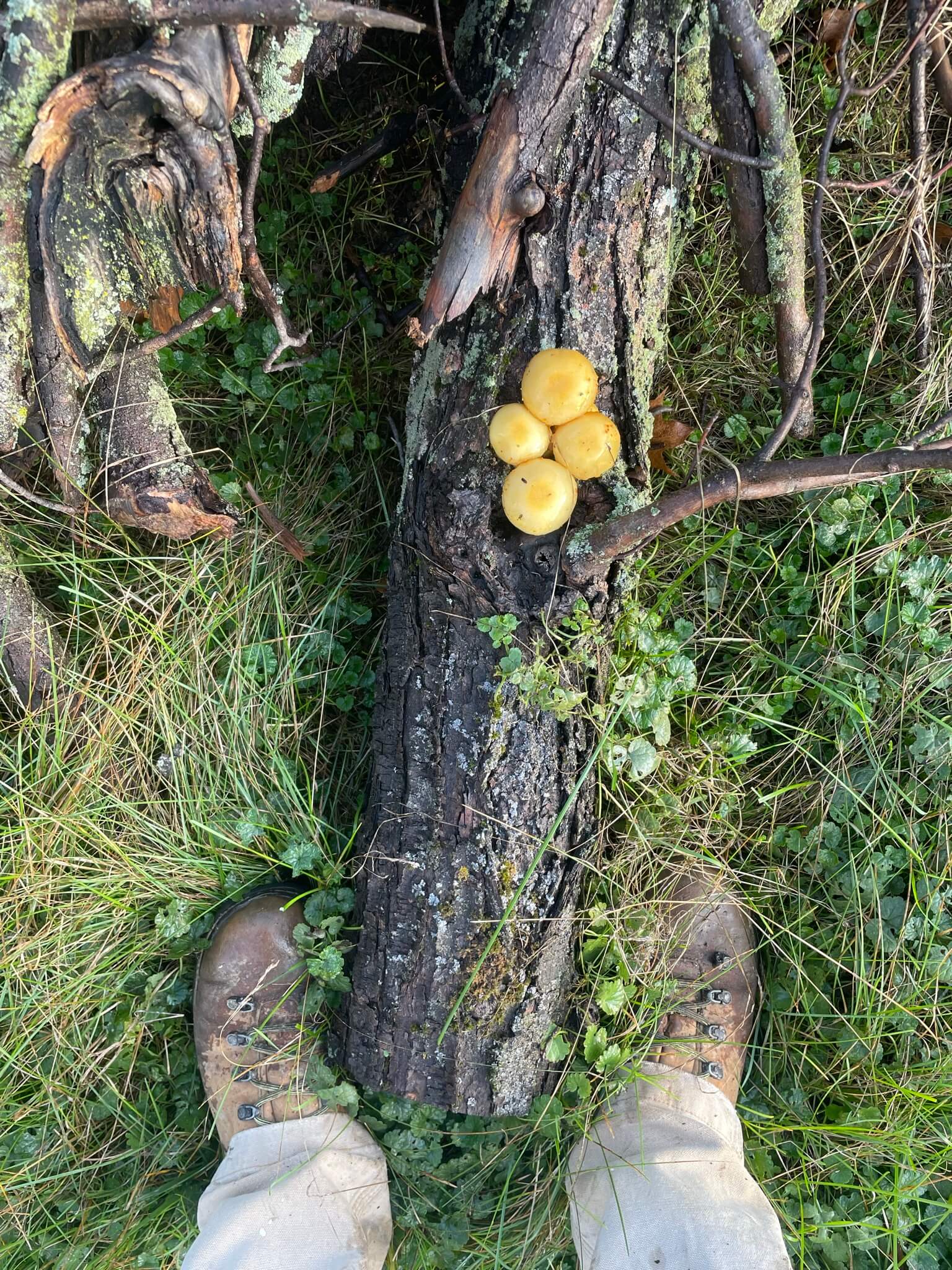
An ‘Ecological Assessment’ is a close reading of an existing site, paying careful attention to dynamics often concealed underfoot and that evade direct experience. What is revealed is how the lands were conditioned by change, the result of a series of transformations that span not only centuries but millions of years. To anticipate and prepare for what will come we must understand what has been.
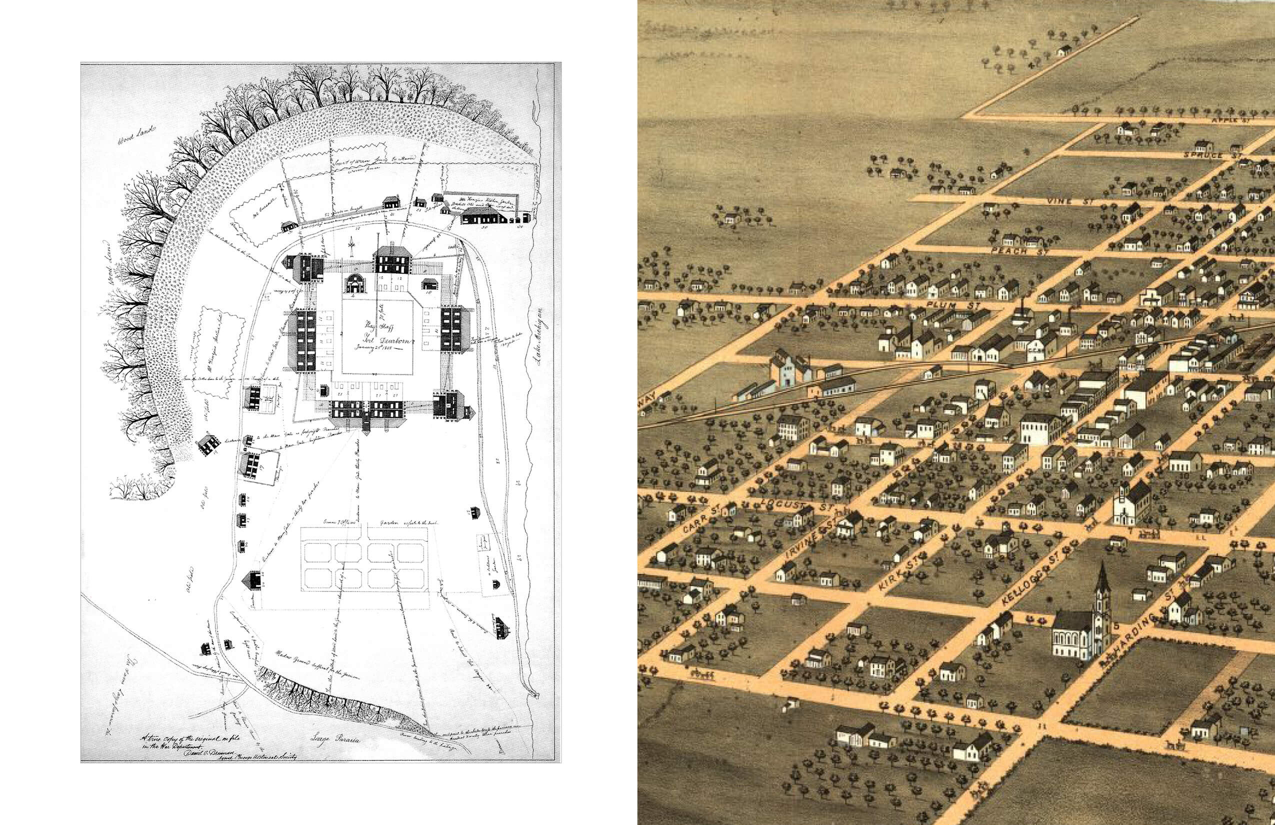
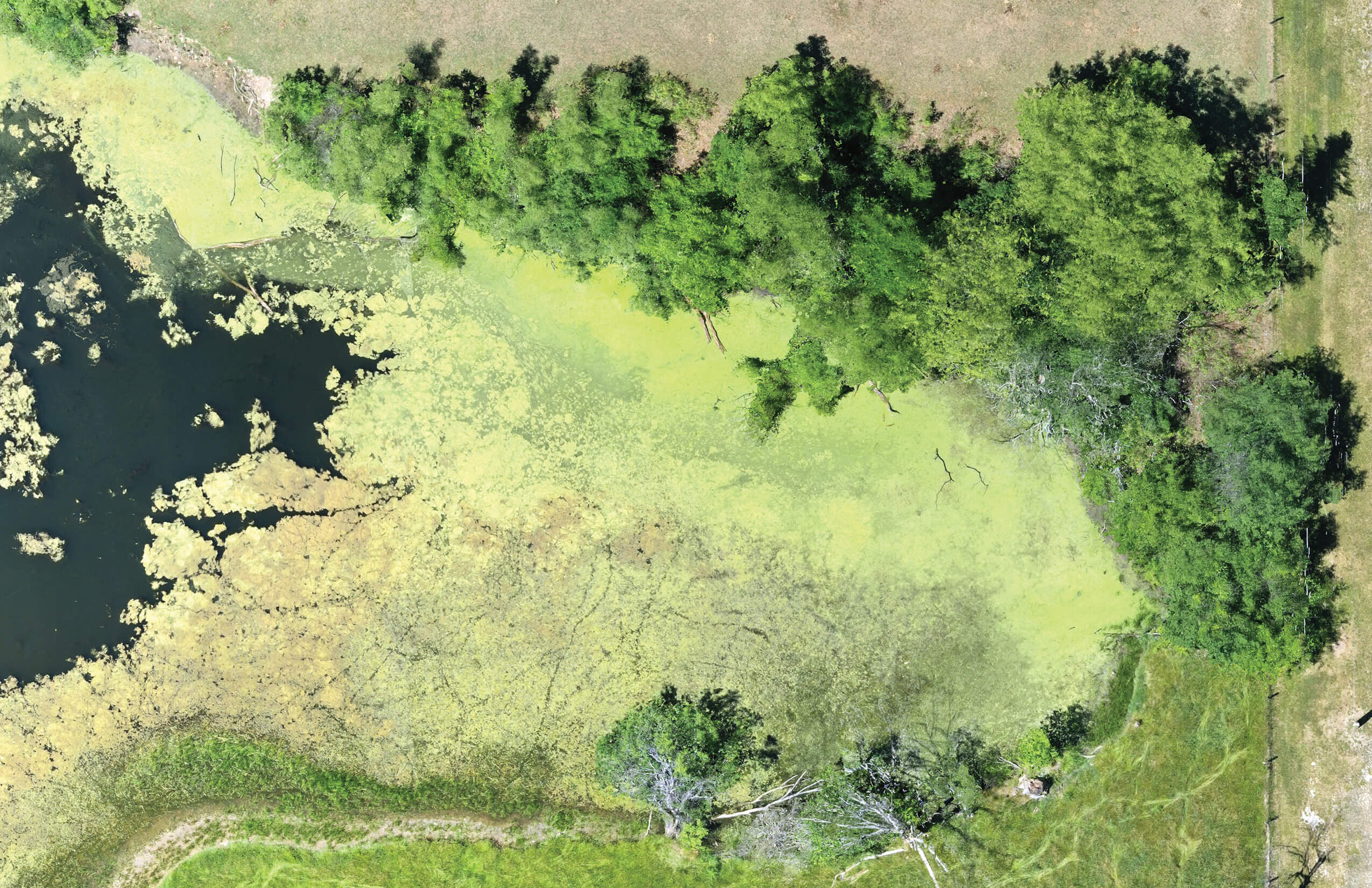
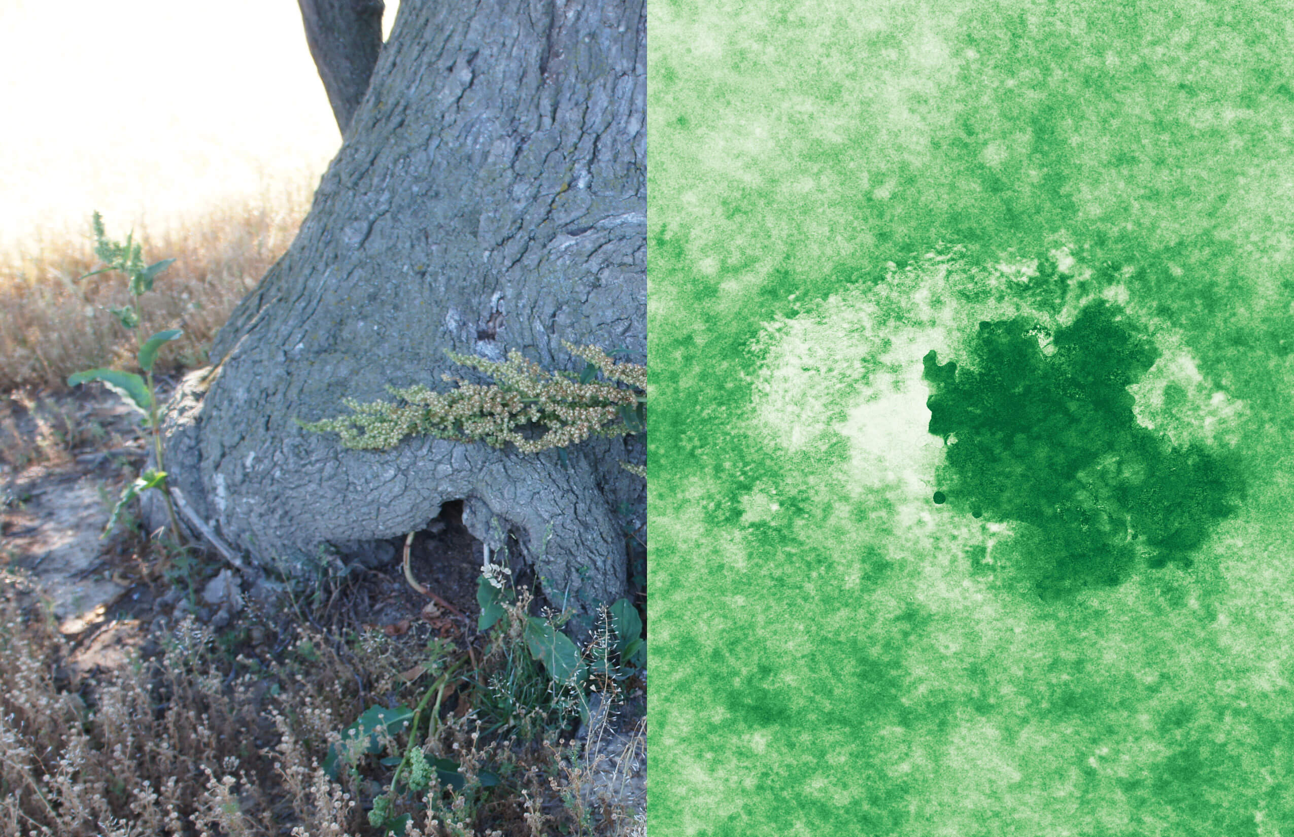
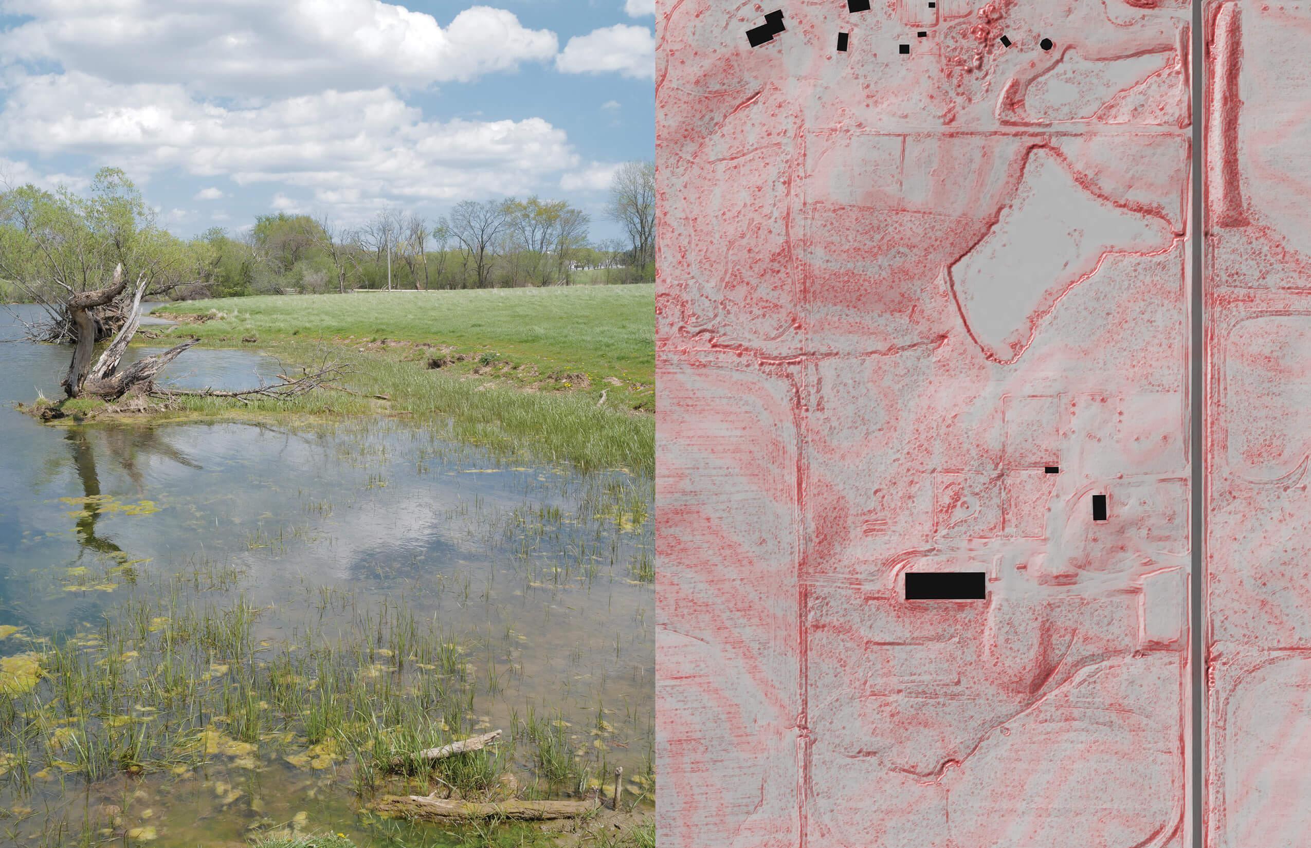
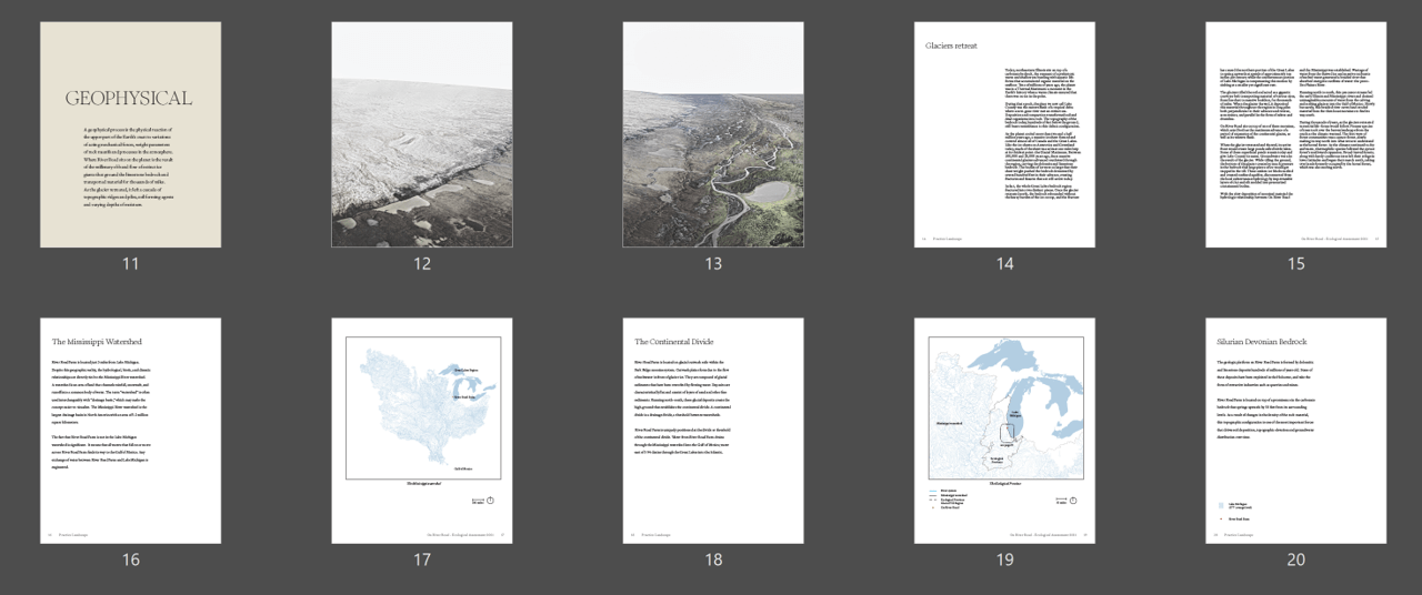
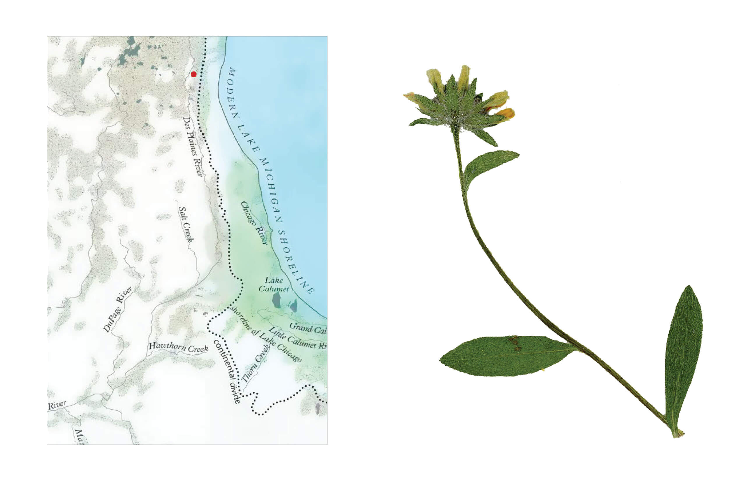
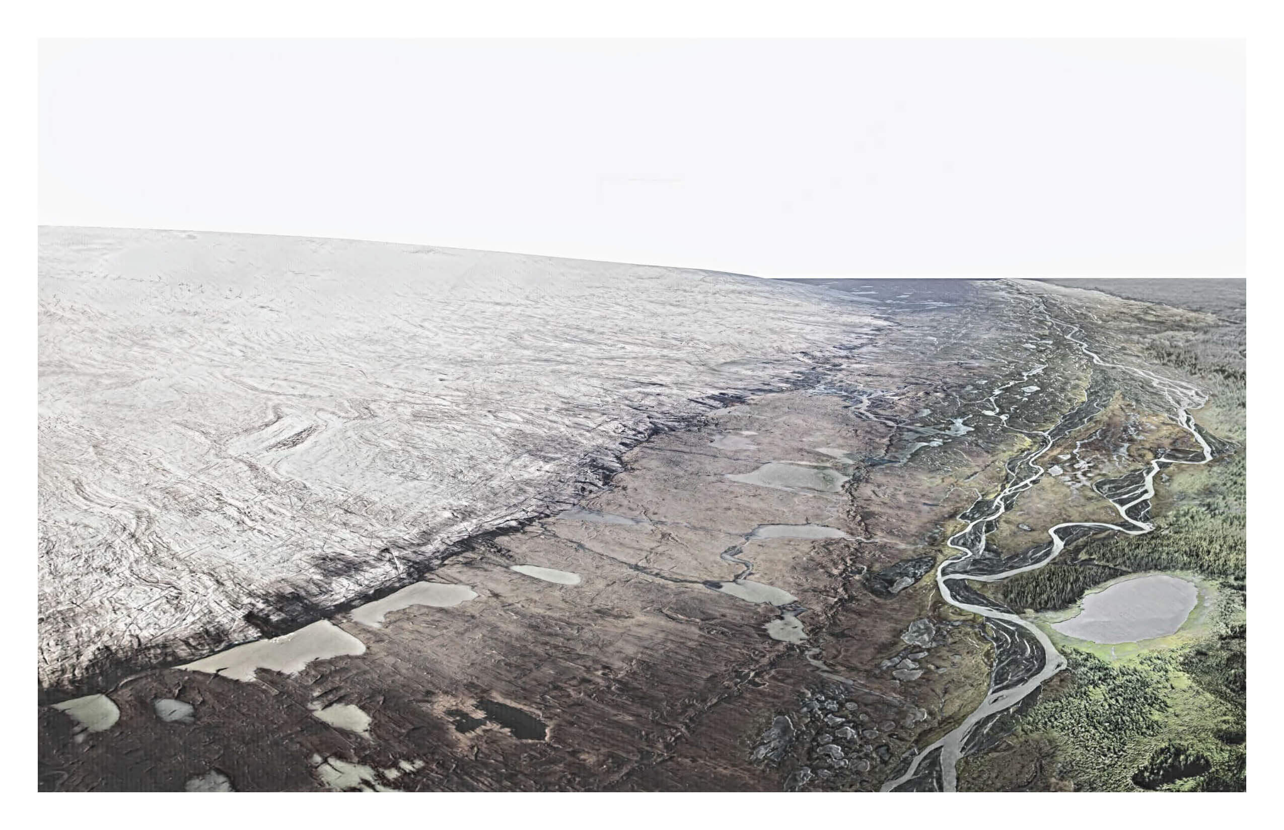
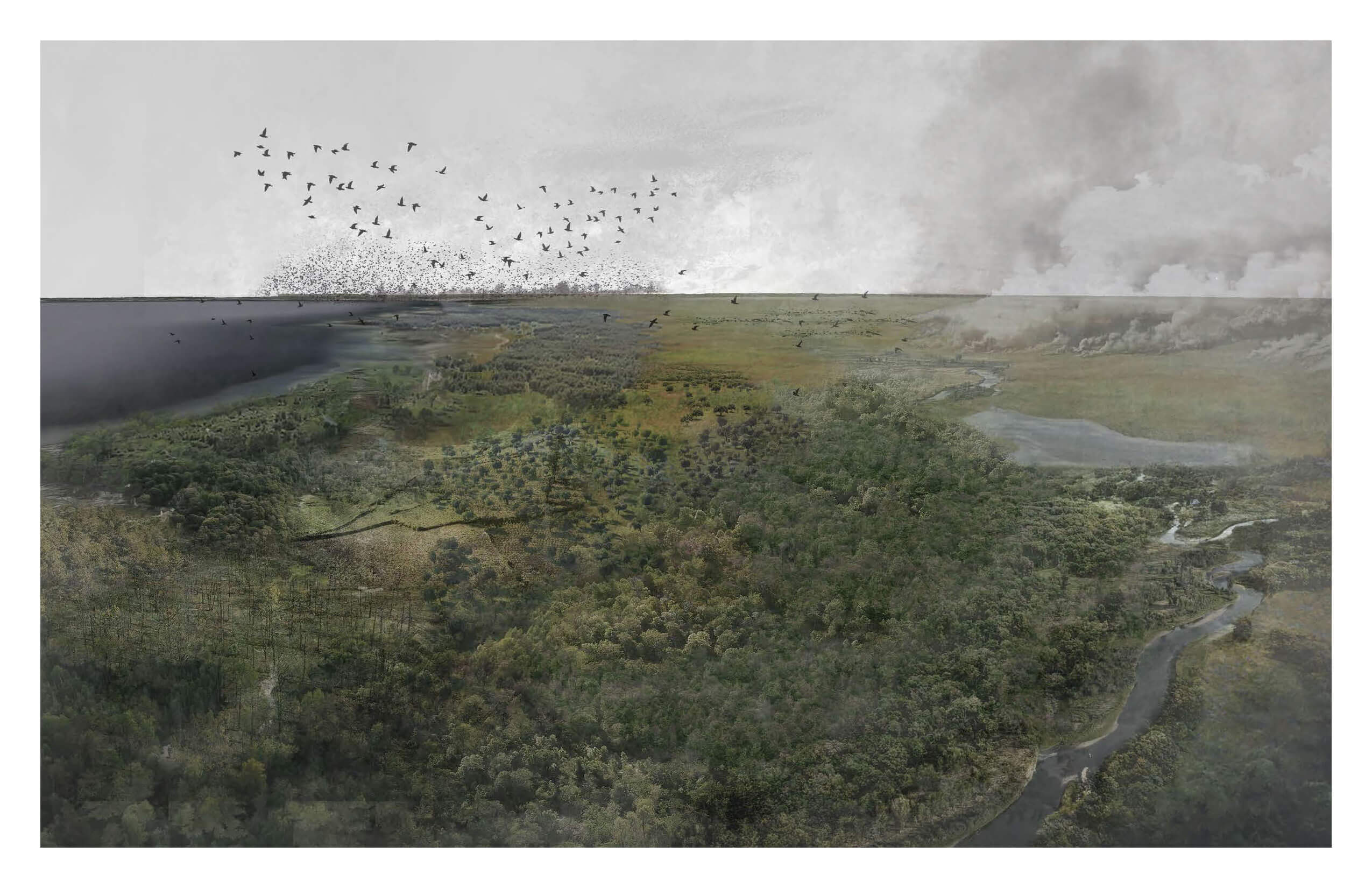
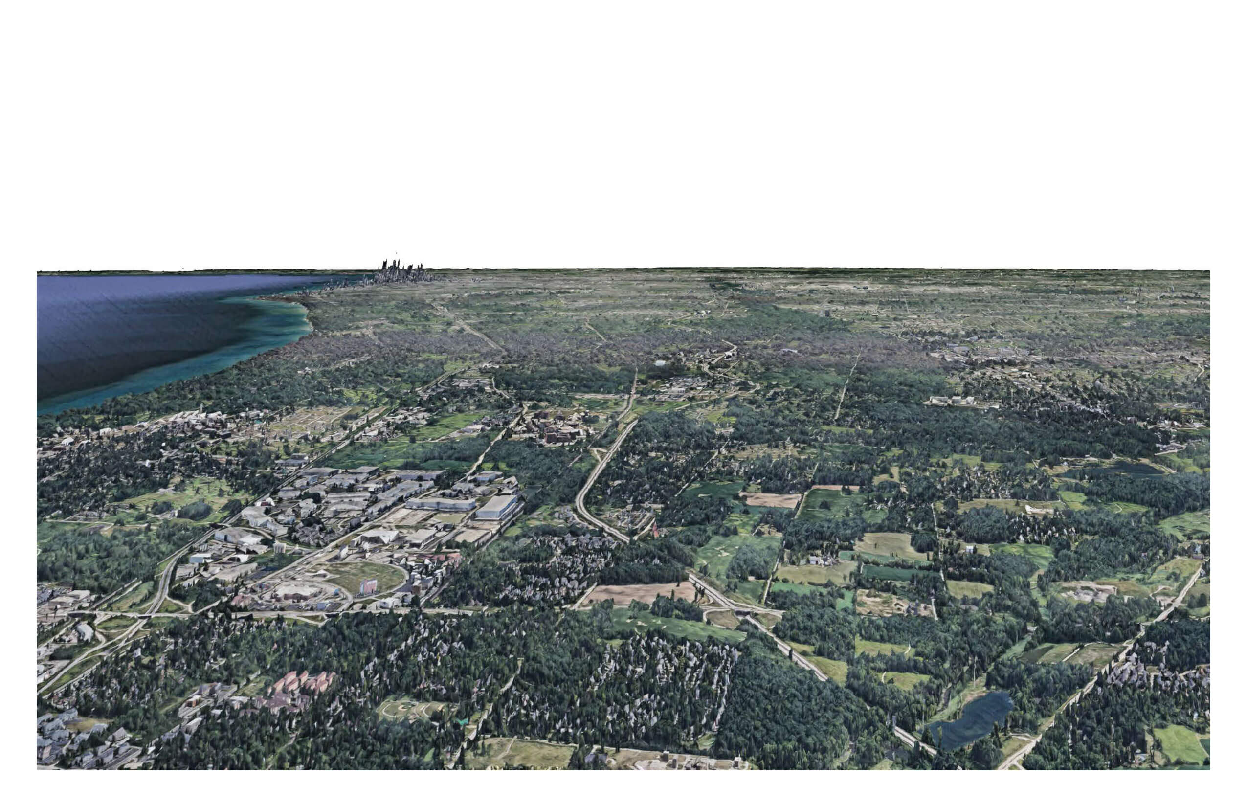
The Ecological Assessmet of 'The Farm' is depicted at three moments in time, representing different scales. Geophysical suggests a scale that spans millions to thousands of years. The analysis at the geophysical scale engages large scale transformation including those forces that are geologic, climatic,and biotic. Historical is a term that engages the past, and those changes in the land that unfolded across thousands to hundreds of years. In this frame, humankind is a major agent of change. Actual refers to what is existing now, the scale of analysis that depicts the lands as they are found today.
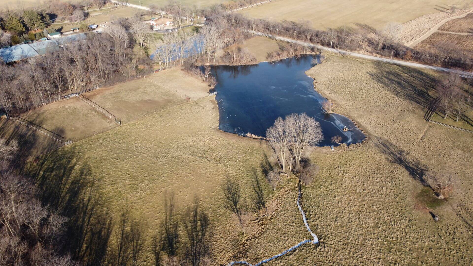
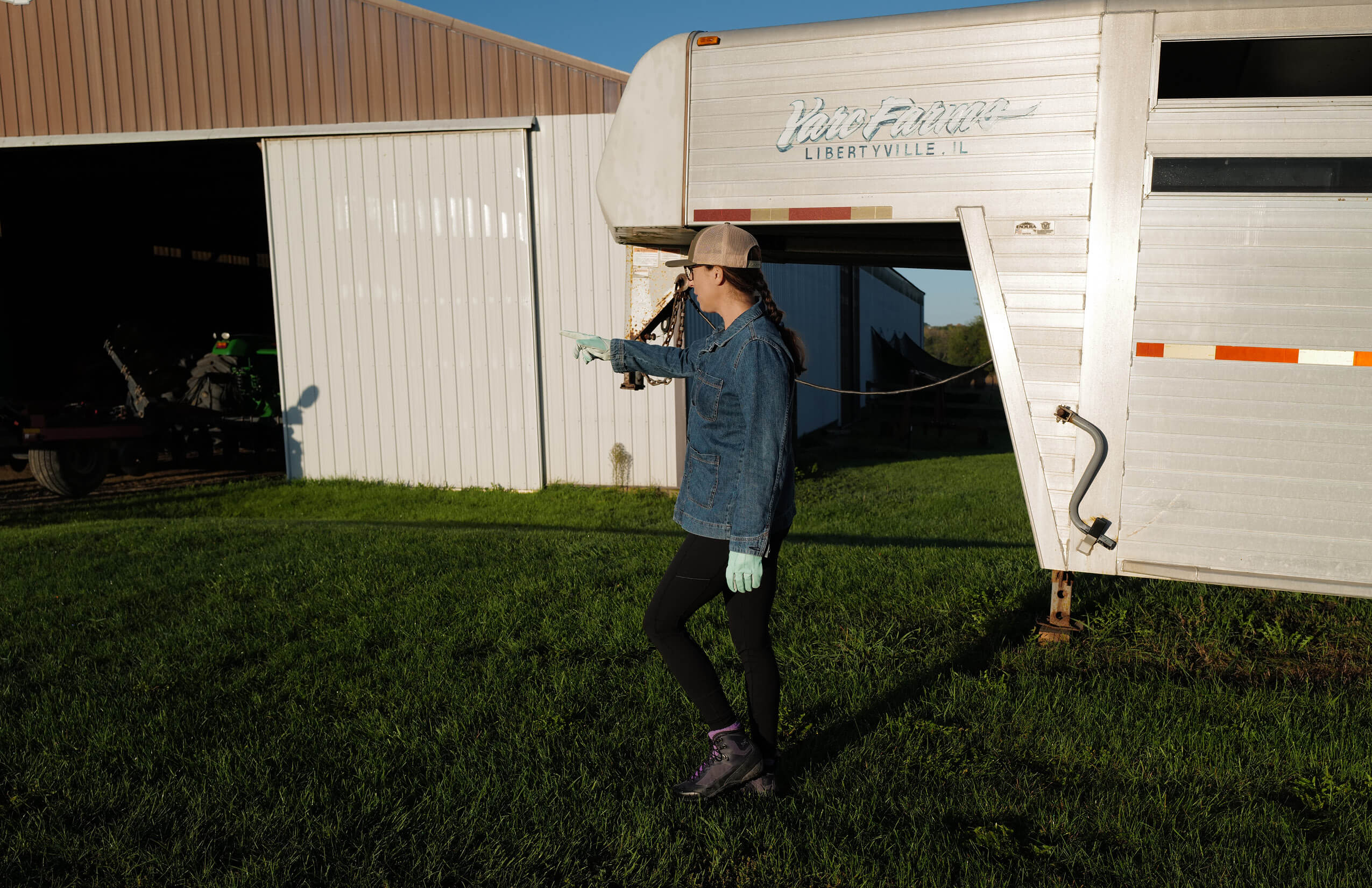
The Ecological Assessment was the first phase in the Lake County Adaptation, a revitalization of 33-acres of former crop and pasture fields, retention pond, and farm structures in agricultural Lake County, Illinois. The project is a long-term collaboration between landscape architect, client, and the land. It is made possible through the generous and generative relationship with the family that cares for this place, and is guided by a stewardship plan, or landscape strategy, a planning document that replaces the fixity of a masterplan by providing scenarios that vary over time, acknowledging shifting plant communities and maintenance regimes and integrating the cultural and ecological landscape.
The site is located on the traditional unceded homelands of the Council of the Three Fires: the Ojibwe, Odawa, and Potawatomi Nations. Many other tribes such as the Miami, Ho-Chunk, Menominee, Sac, and Fox also called this area home. The region has long been a center for Indigenous people to gather, trade, and maintain kinship ties. We acknowledge the indigenous roots of the state of Illinois and recognizes the deep history of the land tied to the traditions of the Potawatomi Tribe.

