Park Lake Creek Subwatershed
Carlton County, Minnesota
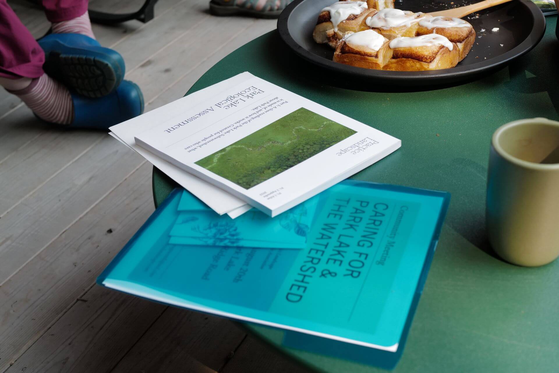
The Park Lake Creek Subwatershed Atlas is an ecological assessment and stewardship plan for the people who care about Park Lake. It is a close reading of a place that describes the relationship between humans and the land, and it is an exercise in landscape literacy. Landscape literacy is a shared vocabulary used to describe a landscape (Jane Wolff). Establishing a shared vocabulary contextualizes Park Lake for the people who care about it and reveals landscape dynamics often concealed underfoot.
‘How does Park Lake work?’
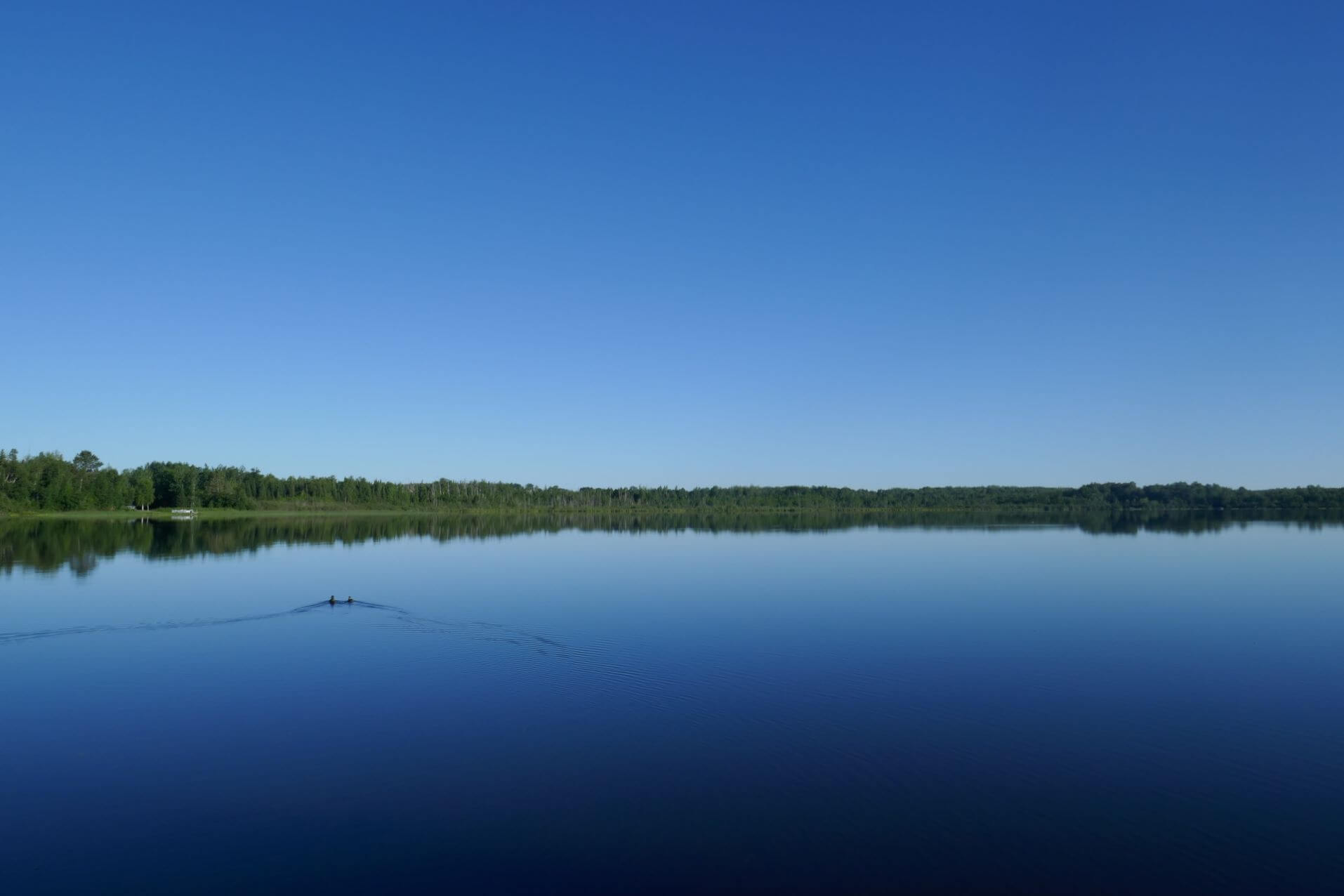
The Ecological Assessment’s primary purpose is to answer the question, ‘How does Park Lake work?’ The lake is understood as a discrete body of water that can be outlined on a map, a common orientation. But this does little to reveal how the lake works. Caring for the lake in a time of great change requires understanding how the lake functions as part of a system.
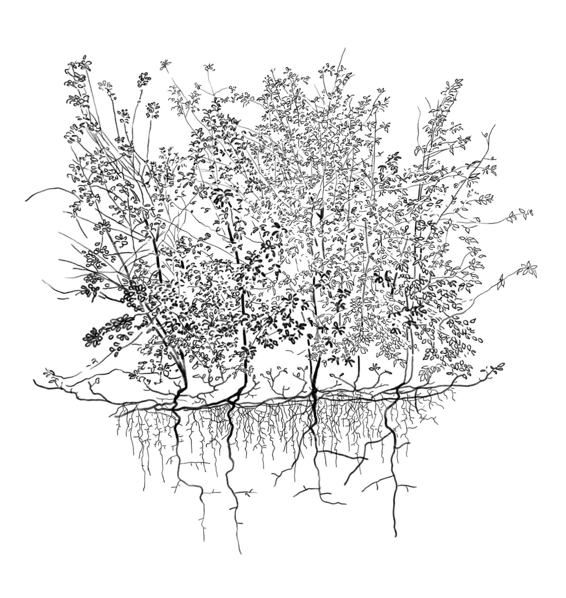
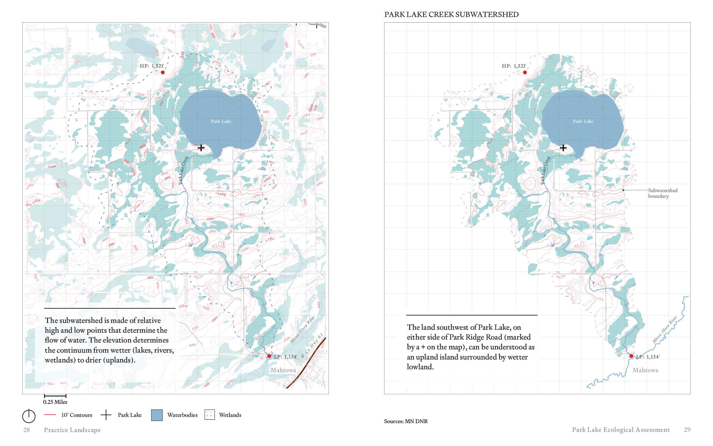
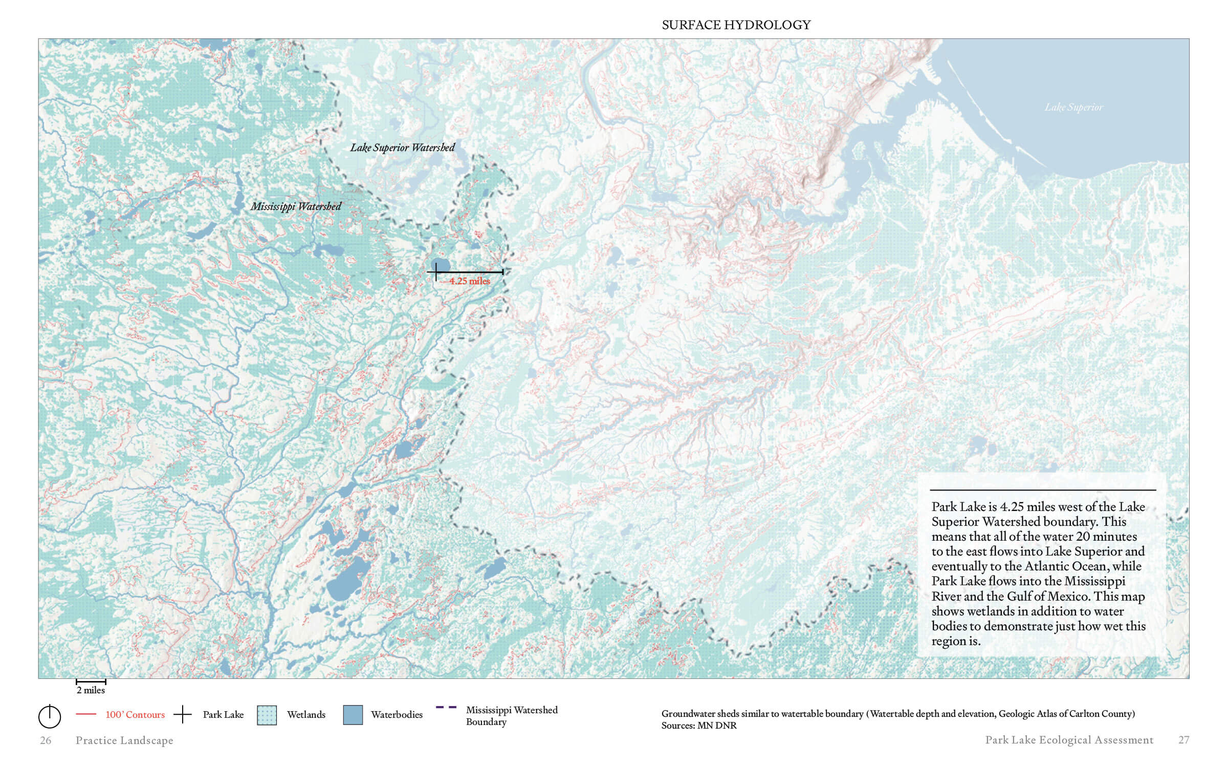
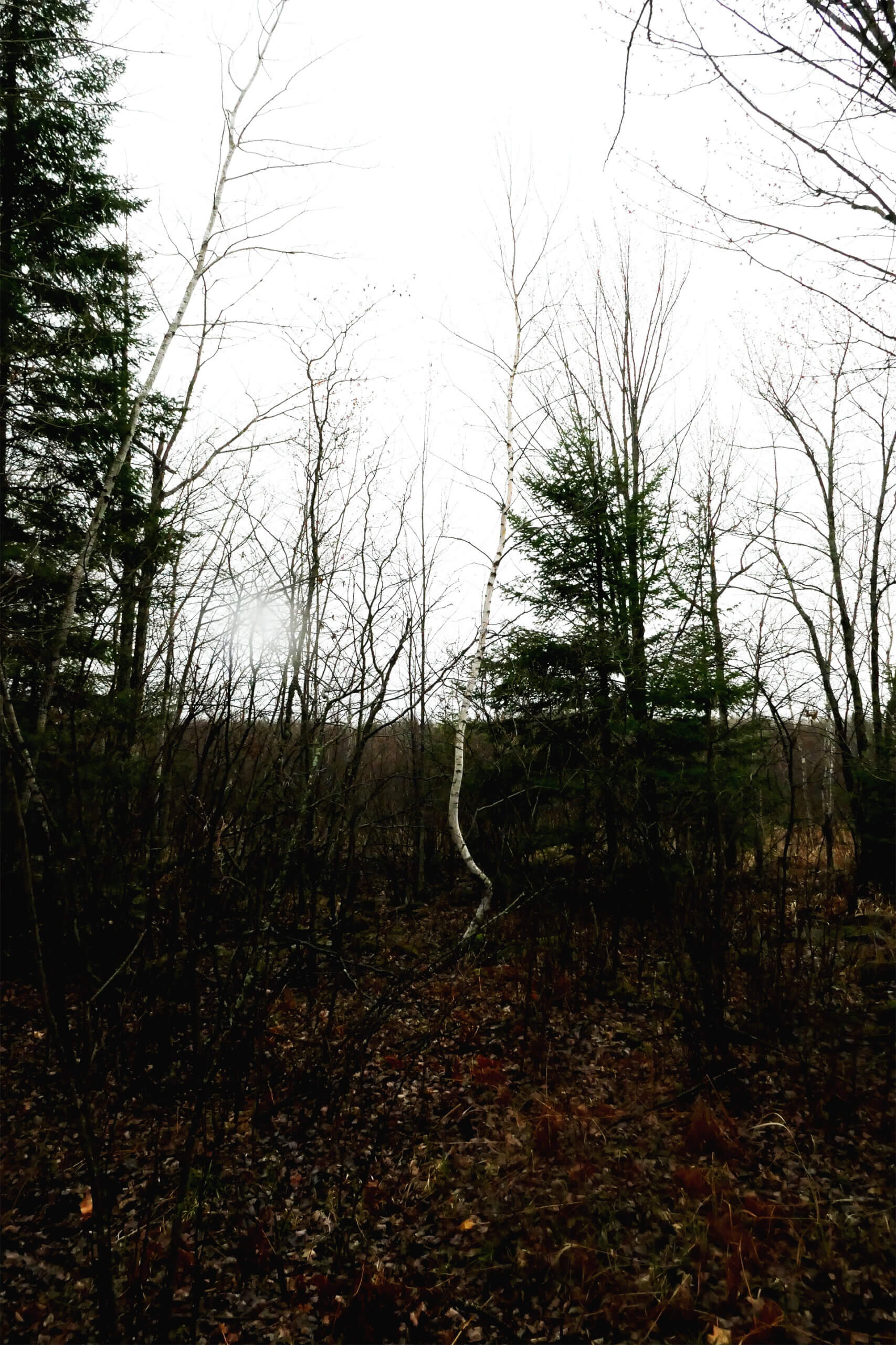
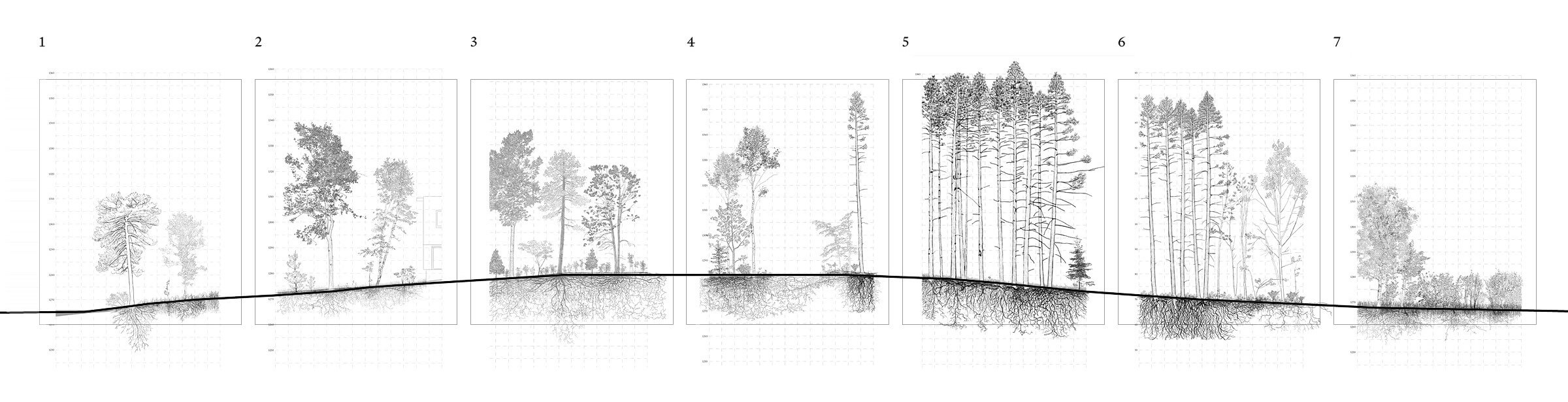
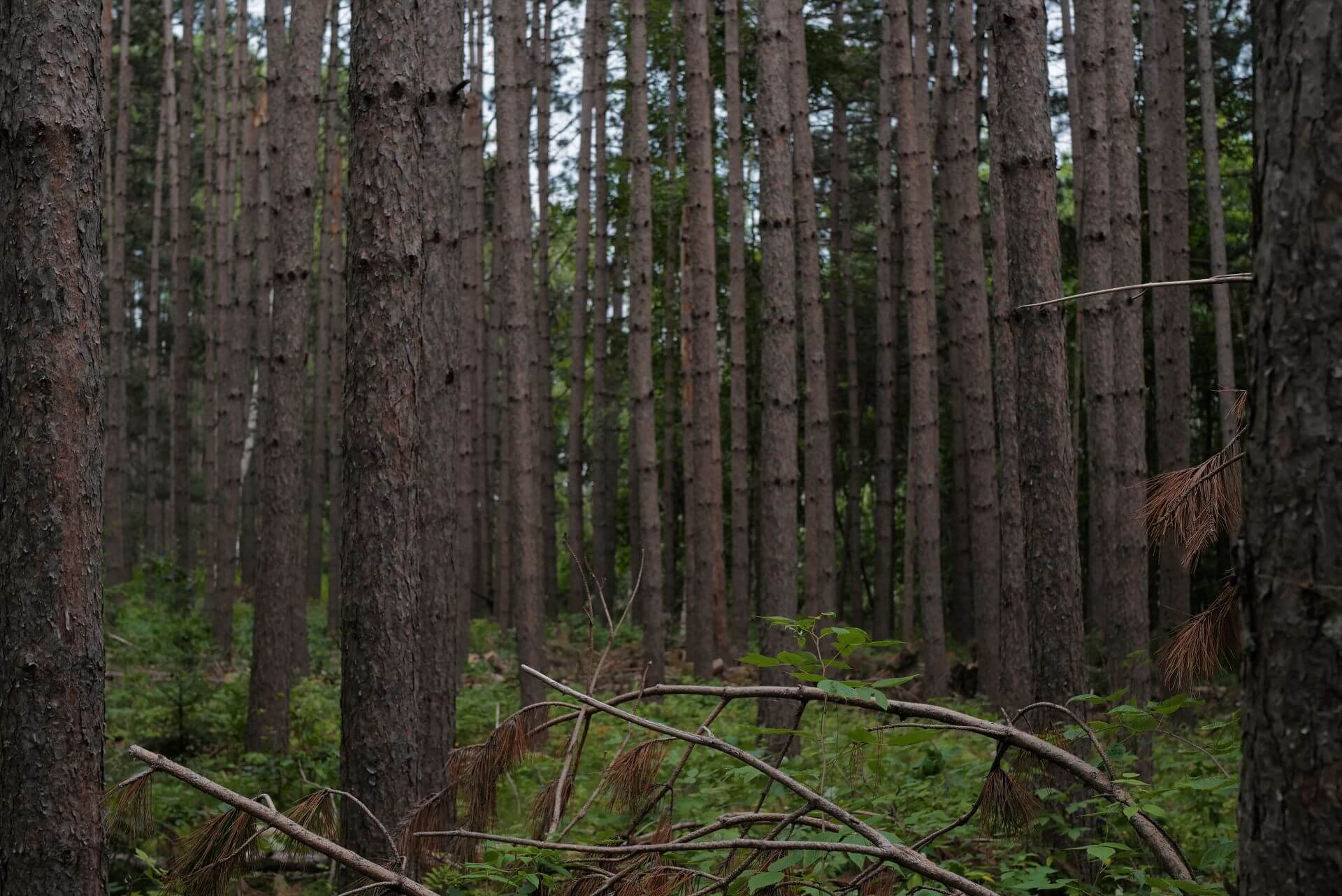
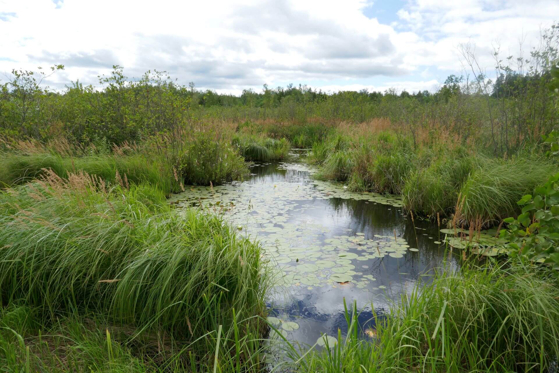
The lake is part of a basin that water (carrying nutrients and other material) drains into from surrounding higher land and out of via the Park Lake Creek. This is called the sub-watershed. The movement of water in the sub-watershed is determined by topographic change. So, the flows into and out of Park Lake create transitions from drier upland conditions to wetter lowland conditions. These transition areas, from wet to dry, dictate the composition of plant communities and allow us to understand where plant species grow and how conditions are changing.
‘How do we care for Park Lake?’
This assessment was commissioned by a long-time resident and landowner in the area with generational ties to Park Lake. The assessment was supported by close conversation through their interest in a shared, community-oriented approach to the ongoing health and vitality of the region. The document compiled here is a living document that helps capture a moment in time, and as such, should be thought of as a project to expand upon, amend, and evolve. In answering how Park Lake works, we hope to contribute to the discussion of how to care for Park Lake.
Collaborators
Park Lake Association
Carlton Soil and Water Conservation District
Cloquet Forestry Center
Mark Heller
The Ecological Assessment compiles historic and present-day data into one comprehensive report to be used as the first phase of a long-term stewardship plan for Park Lake and the surrounding Park Lake Creek Subwatershed. While landscape is always changing, it is changing much more rapidly now. These changes are intertwined and include anticipated changes in water quality and wetness and in vegetation and associated fauna. Each section of the assessment (How does Park Lake work?) is divided into Past, Present and Future, because to anticipate and prepare for what will come we must understand what has been.
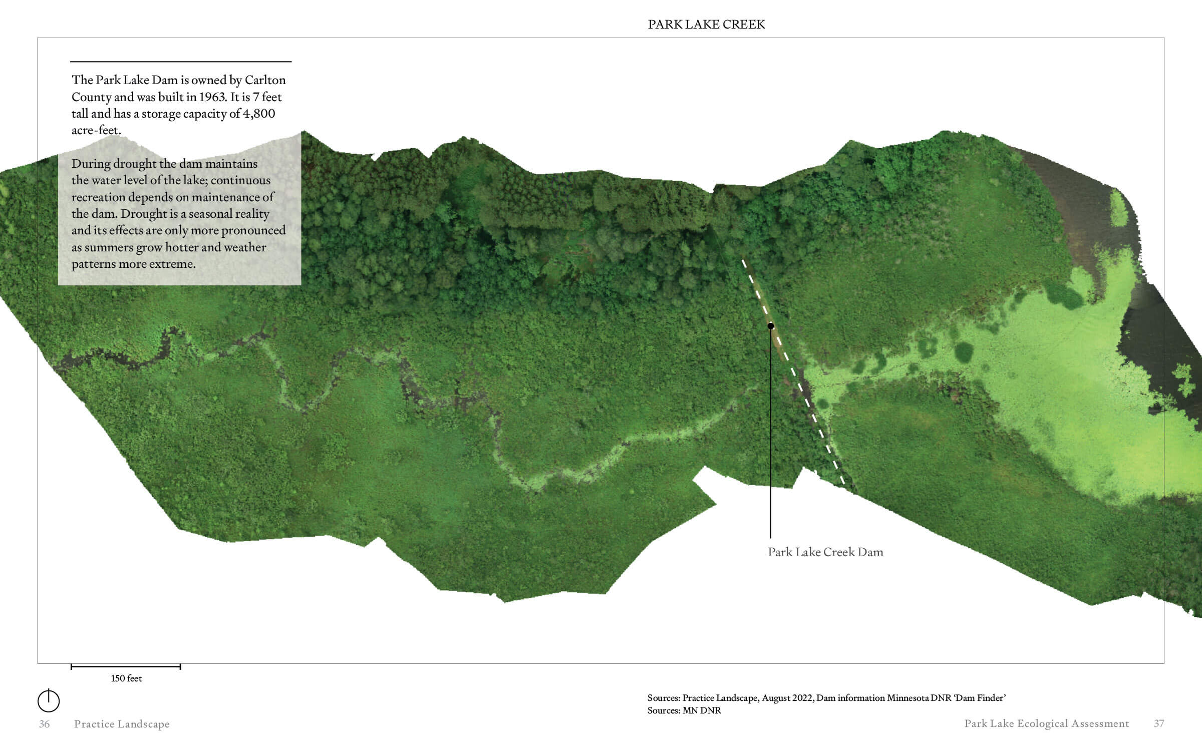
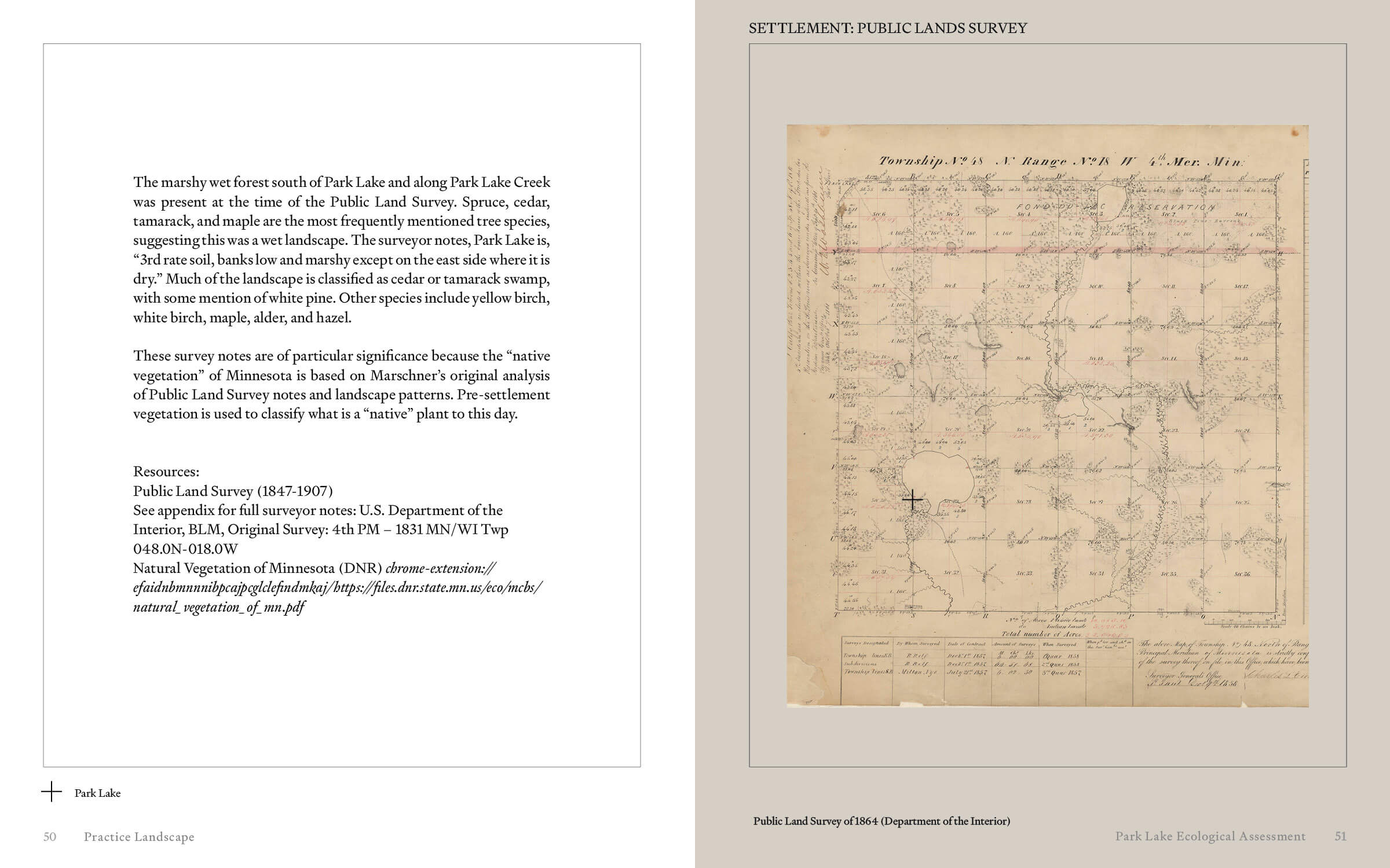
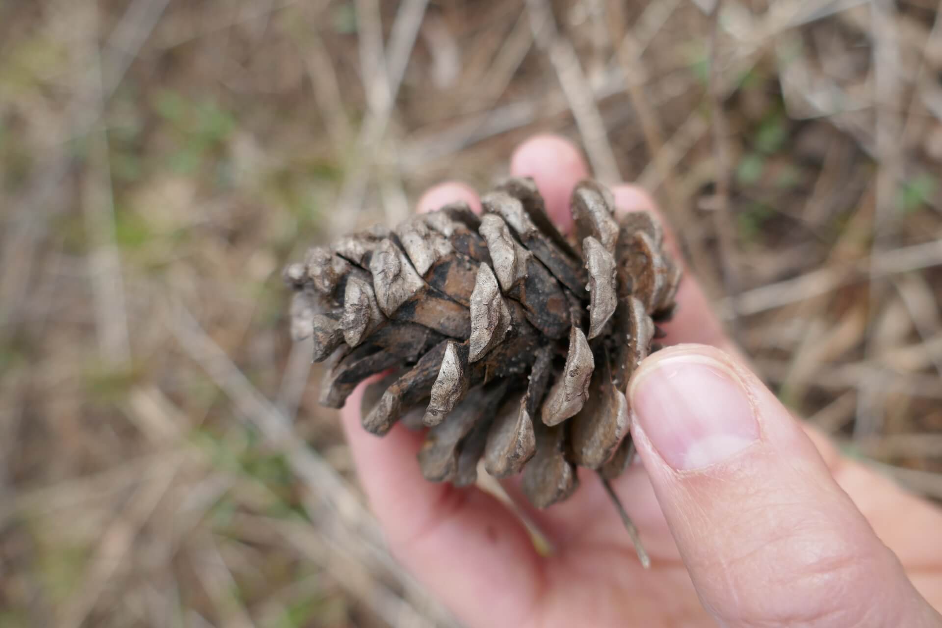
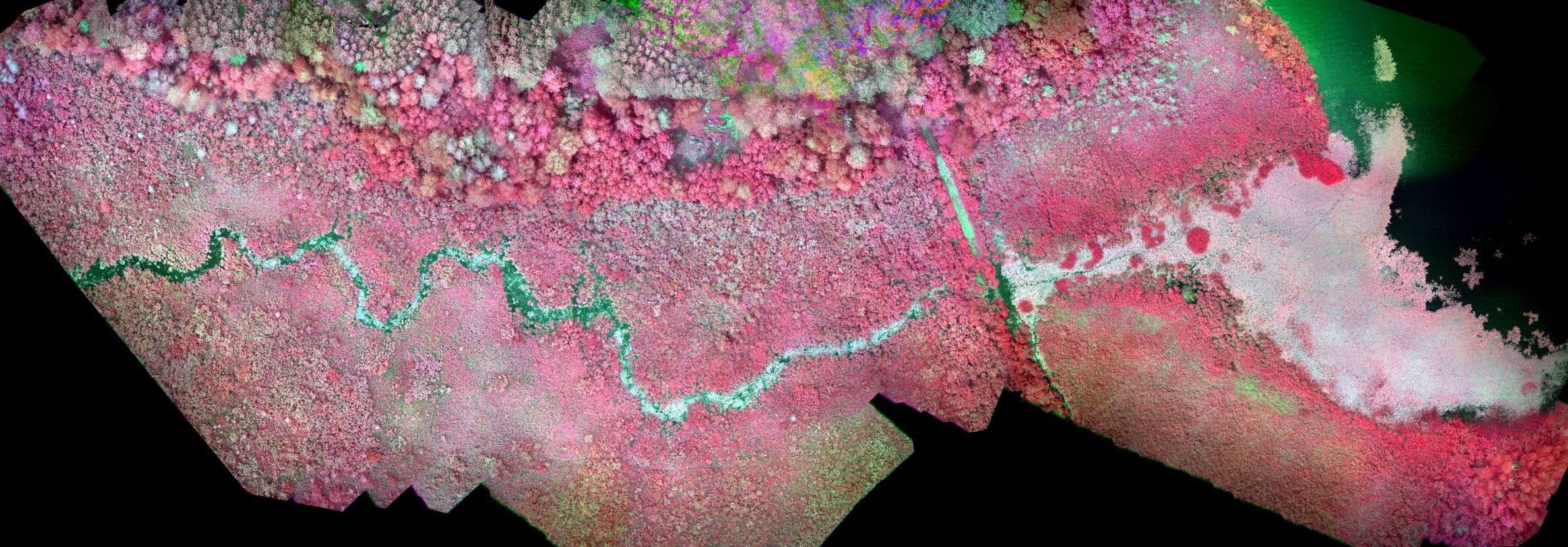
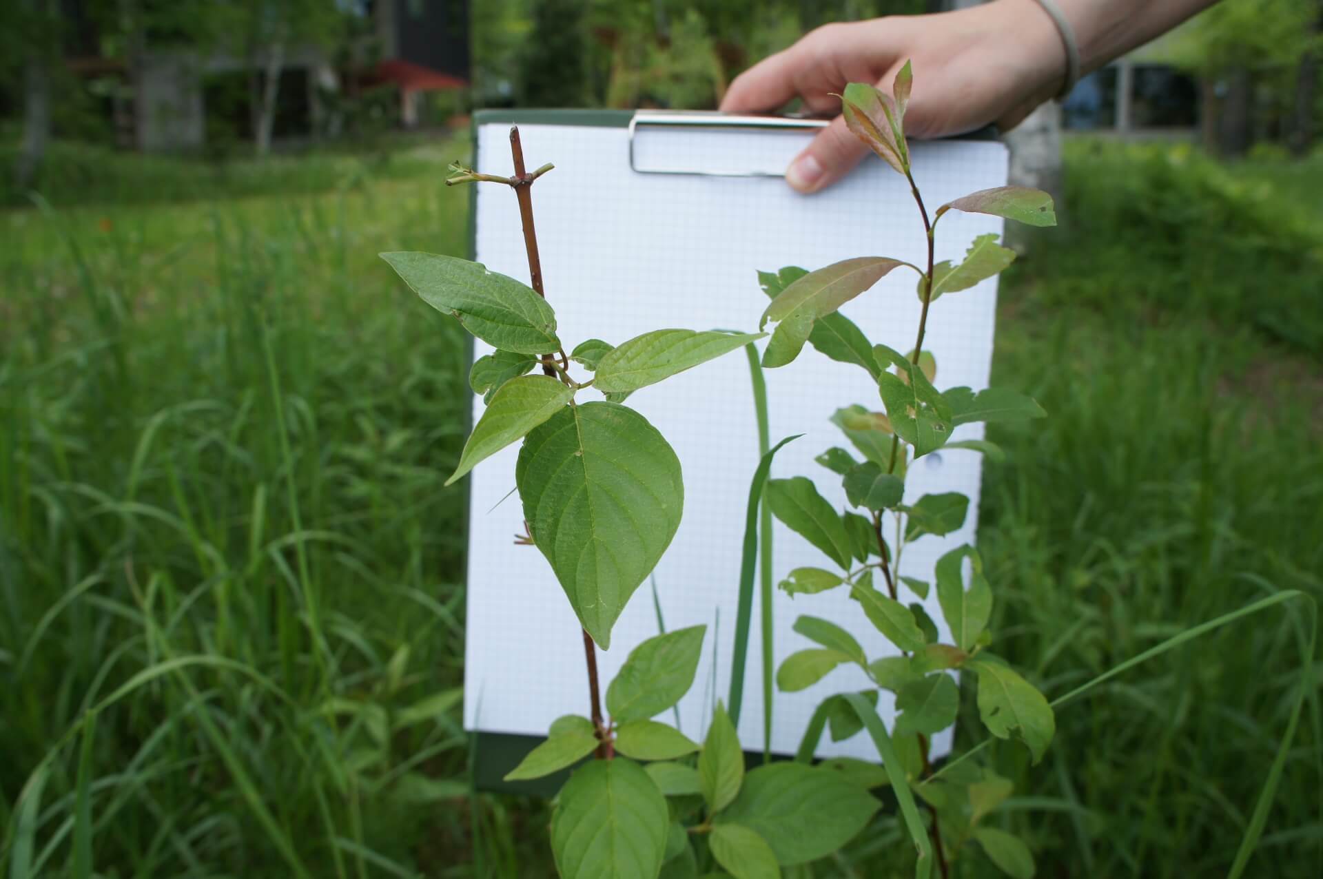
Practice Landscape layered methods of data collection and analysis to capture the complexity of the landscape. These included drone imagery that revealed potential threats to forest age and health, as well as rendering previously inaccessible parts of the wetland visible. Historic and archival research, including the original Public Land Survey of 1864 that set into motion a century of land management geared towards tree harvesting and resource extraction. Interviews with residents and local experts, including: Cloquet Forestry Center, Carlton County Soil and Water Conservation District, University of Minnesota Forestry Extension, the Fond du Lac Reservation Cultural Center & Museum, and the Carlton County Historical Society. And on the ground fieldwork that uncovered often concealed process and landscape conditions.
The Ecological Assessment compiles historic and present-day data into one comprehensive report to be used as the first phase of a long-term stewardship plan for Park Lake and the surrounding Park Lake Creek Subwatershed. While landscape is always changing, it is changing much more rapidly now. These changes are intertwined and include anticipated changes in water quality and wetness and in vegetation and associated fauna. Each section of the assessment (How does Park Lake work?) is divided into Past, Present and Future, because to anticipate and prepare for what will come we must understand what has been.
Practice Landscape layered methods of data collection and analysis to capture the complexity of the landscape. These included drone imagery that revealed potential threats to forest age and health, as well as rendering previously inaccessible parts of the wetland visible. Historic and archival research, including the original Public Land Survey of 1864 that set into motion a century of land management geared towards tree harvesting and resource extraction. Interviews with residents and local experts, including: Cloquet Forestry Center, Carlton County Soil and Water Conservation District, University of Minnesota Forestry Extension, the Fond du Lac Reservation Cultural Center & Museum, and the Carlton County Historical Society. And on the ground fieldwork that uncovered often concealed process and landscape conditions.
The Ecological Assessment was completed in collaboration with Mark Heller.